Five Mountains Worth Hiking in Korea: Choose the Route That Fits Your Trip
Five mountains worth hiking in Korea: Seoraksan, Hallasan, Jirisan, Deogyusan and Taebaeksan, with route choices, reservations and access checks.
A Korean mountain trip does not have to mean climbing the country's most famous summit. A valley walk, a high plateau reached from a road pass and a long summit ascent can all be rewarding, but they require different plans.
For a trip beyond Seoul, our five recommendations are Seoraksan, Hallasan, Jirisan, Deogyusan and Taebaeksan. Choose them for different reasons: dramatic granite, Jeju's volcanic landscape, a broad southern mountain range, valleys and high ridges near Muju, or the upland scenery around Taebaek. This is a destination shortlist, not a five-summit challenge or a list of beginner winter climbs.
Compare the kind of day you want
| Mountain | Useful travel base | Why consider it? | Start your route research here |
|---|---|---|---|
| Seoraksan, 설악산 | Sokcho | Granite scenery and several different day-walk objectives | Seorak-dong entrance; compare lower walks with Ulsanbawi |
| Hallasan, 한라산 | Jeju | Volcanic scenery and highland trails | Decide between a Baengnokdam summit plan and a non-summit trail |
| Jirisan, 지리산 | Gurye for the western side | Broad mountain scenery with very different approaches | Nogodan via Seongsamjae; reserve the controlled Nogodan section and check road access separately |
| Deogyusan, 덕유산 | Muju | Valley walking or a separate high-elevation outing | Gucheondong valley; distinguish it from a summit or resort-gondola plan |
| Taebaeksan, 태백산 | Taebaek | Upland forest, ridges and the Cheonjedan area | Yuilsa and Danggol approaches, including how you will return |
The base towns are planning suggestions, not claims that every trail is nearby. Confirm transport to the entrance as well as intercity travel. A bus ticket to the right city does not complete the last part of the journey.
1. Seoraksan: choose an objective before leaving Sokcho
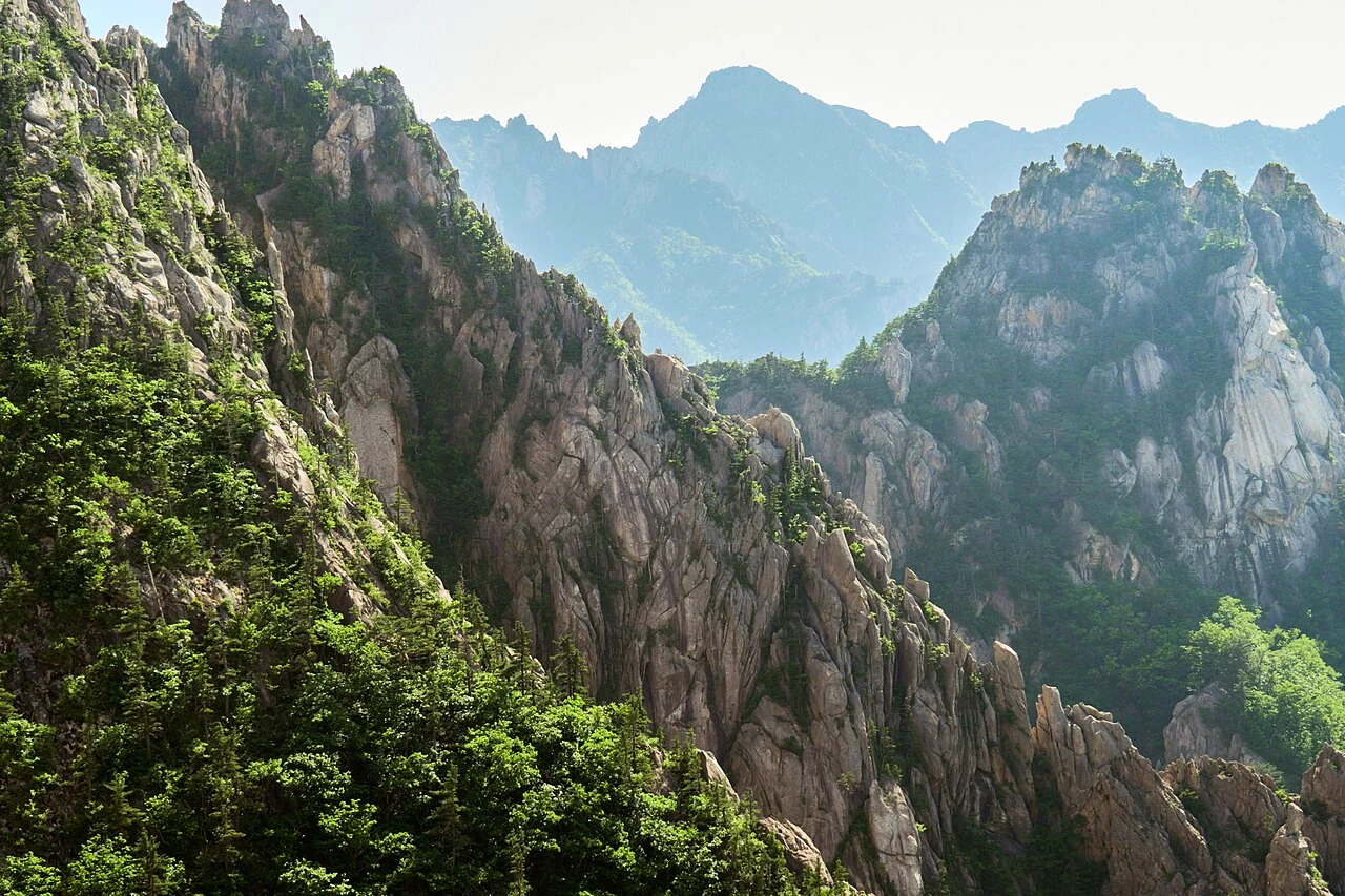
Seoraksan is a strong choice when mountain scenery is a main reason for traveling to the east coast. The useful question is not simply whether to visit the park, but what kind of walk you want once you arrive.
From the Seorak-dong side, compare a shorter lower-level outing with a more strenuous objective such as Ulsanbawi. The latter is a climb with a demanding upper section, not a gentle viewpoint reached by following a flat path. A visit to the lower park can be a worthwhile day without committing to that ascent.
Use the official Seoraksan course directory to select the path. Check both trail controls and entry cutoffs. Do not turn a broad description such as a half-day walk into a promise about your own speed or a guarantee of access.
Daecheongbong is a separate mountain objective. Avoid adding the highest summit to a day that was originally planned around a shorter walk and a return bus. Staying near Sokcho can make an early departure and a flexible return more practical; check actual transport for your chosen date.
2. Hallasan: decide whether you want the crater summit
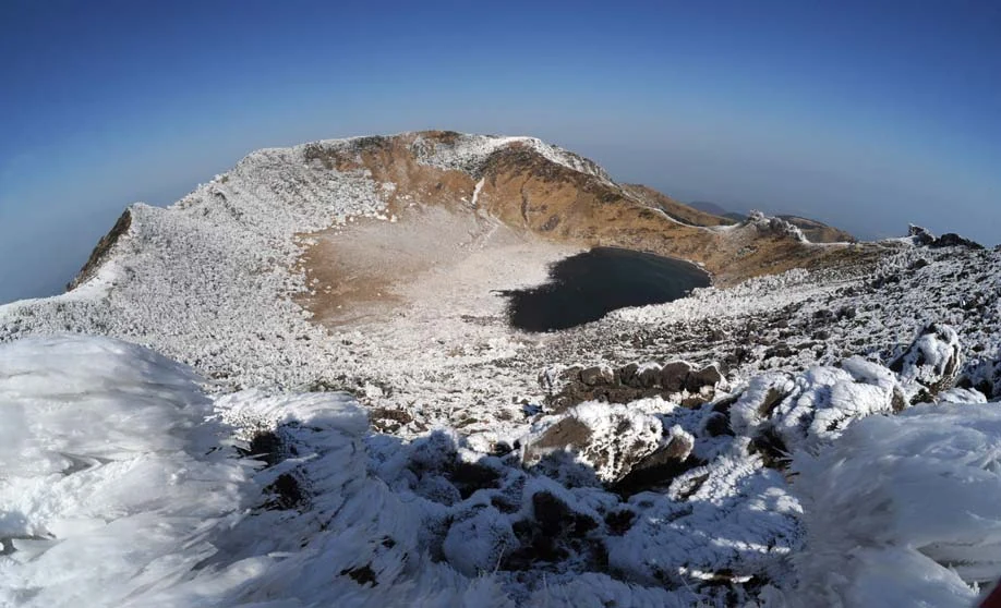
Hallasan belongs in a Jeju itinerary with room for a dedicated mountain day. The first decision is whether you want to reach Baengnokdam, the summit crater, or explore a trail that does not go there.
The park's reservation notice identifies the controlled summit sections on the Seongpanak and Gwaneumsa routes. It distinguishes these from routes including Eorimok and Yeongsil, which operate without that summit reservation requirement. A non-summit route does not become a shortcut to the crater.
For a summit plan, use the official Hallasan reservation system and read the current notice for your route and date. Keep the required confirmation and identification ready. A successful reservation does not override a weather closure, a winter-equipment requirement or a trail entry cutoff.
The Seongpanak route introduction describes a long round trip of 19.2 kilometers. That is a useful reminder that a manageable-looking gradient can still produce a tiring day. Carry the food, water and equipment you need before starting rather than expecting a shop on the trail.
If you choose Eorimok or Yeongsil instead, research its own distance, ascent and turnaround rules. These are high mountain walks, not automatic easy alternatives because they do not reach the summit. Build the rest of your Jeju schedule around the route you actually choose.
3. Jirisan: begin with one side of the range
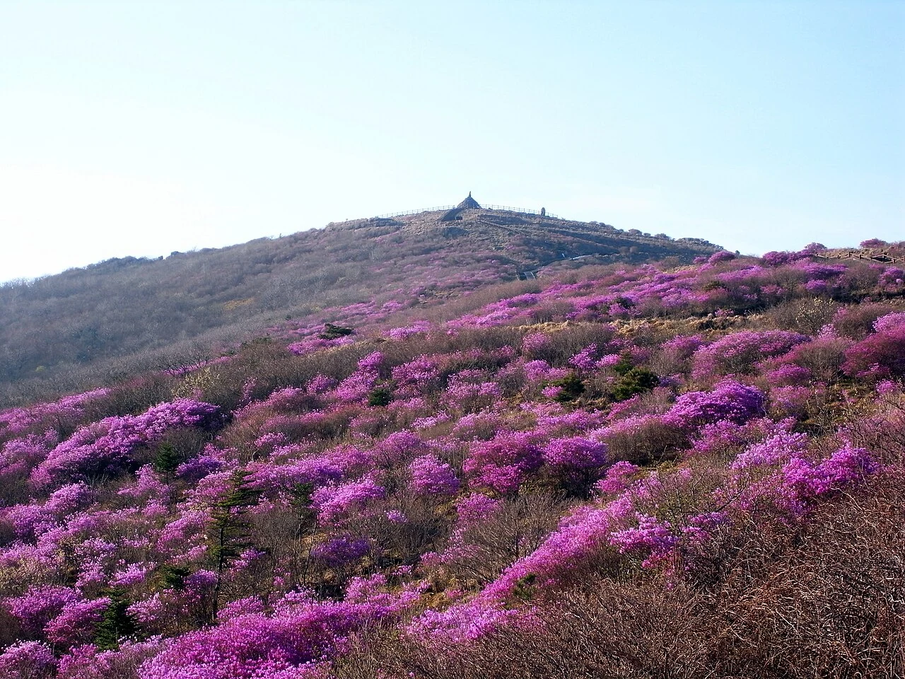
Jirisan is too extensive to plan from the mountain name alone. For an introduction, consider the western Nogodan area, using Gurye as a travel base and checking access toward Seongsamjae.
Nogodan gives you a different planning problem from a long ridge traverse or a Cheonwangbong summit trip. In the KNPS trail reservation system, select the Nogodan controlled section and check the available date. Being able to walk toward the area does not mean the reserved summit section is available.
Road access needs its own check. A reservation for a trail does not guarantee that a bus, taxi or private car can reach Seongsamjae by your intended approach. Construction, seasonal road restrictions and weather can change the journey. Verify current road notices for your dates before treating this as a simple drive-up starting point; winter restrictions can also apply.
Keep a first visit to a defined out-and-back outing that matches the day's conditions. A multi-day Jirisan traverse needs separate planning for distances, escape options and any overnight shelter reservation. It is not a casual extension of a Nogodan visit.
4. Deogyusan: the valley and the high ridge are different days
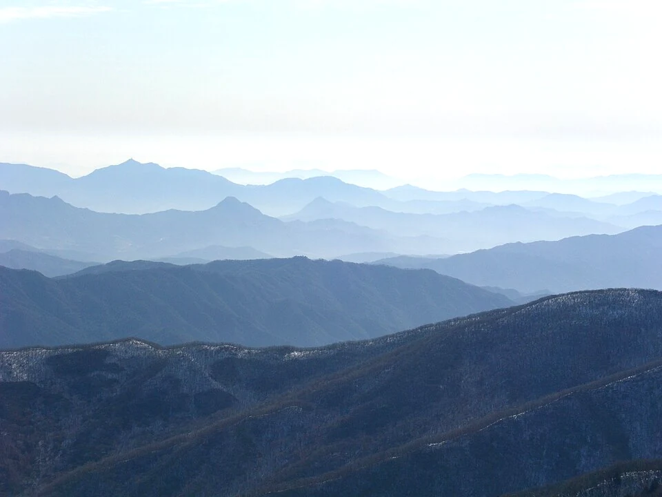
Deogyusan offers a useful choice near Muju: explore the Gucheondong valley, or plan a high-elevation outing. Decide which one you want before comparing travel times and equipment.
The KNPS Gucheondong–Baengnyeonsa course description distinguishes the gentler valley approach from the steeper continuation toward Hyangjeokbong. That difference makes the valley a good place to research when you want scenery without making a summit compulsory.
Even a gentler gradient can add up to a long return walk. Choose a turnaround point that leaves enough time and energy to get back. Do not read a family-friendly description as a promise that the entire mountain, in every season, has the same conditions.
The resort gondola is another planning option, but it is a separate paid service. Check its official operation, booking conditions and return arrangements before relying on it. Reaching a high starting point by gondola does not remove exposure to wind, cold or ice, and a last-minute service interruption can change the whole plan.
5. Taebaeksan: a mountain day with a clear exit plan
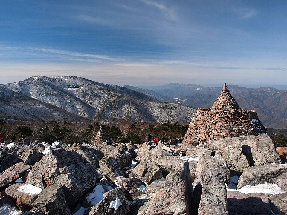
Taebaeksan is worth considering when you want to build a mountain visit around the city of Taebaek. The Yuilsa and Danggol approaches provide useful starting names for official route research, with the Cheonjedan area a well-known objective.
Choose whether your outing will return to the same entrance or finish on another side. This decision affects your taxi, bus or parked car arrangements. A route between two entrances can look tidy on a trail map while leaving you far from the transport you expected at the end.
Taebaeksan is often associated with winter landscapes. Treat those images as a reason to research the mountain, not proof that it is a suitable first snow hike. Open high ground, wind, ice and the length of the descent can make the day demanding. A lower forest outing or a different destination may fit better if you lack winter mountain experience.
Use the KNPS portal to open the Taebaeksan park page, compare named courses and read current controls. Keep the itinerary flexible if a section is unavailable; an open park entrance does not guarantee access to every ridge.
Reserve, check access, then check the weather again
Use three separate checks: a place on a controlled trail, permission to enter the route that day, and conditions you can manage. These are related but different. A booking is not an assurance of suitable weather, and a route without advance booking can still close.
Before making non-refundable transport plans, check the park's current notices. Before leaving your accommodation, check again for trail controls, entry and turnaround cutoffs, mountain weather and road access. Fire-prevention periods affect selected sections; avoid assuming that one nationwide date explains every park.
Carry a route reference you can use offline, water, food, suitable footwear, weather layers, a charged phone and a headlamp. Plan to descend in daylight and leave a margin for rests, queues and slower ground. For emergency help, call 119 and report your trail marker location if available.
For a trip staying entirely in Seoul, a city mountain may fit better than an intercity excursion. Our Seoul mountain shortlist covers Achasan, Inwangsan and Bukhansan. For longer journeys, the KTX versus express-bus guide helps with the main transport choice; still confirm the final transfer to your trailhead.
Photo credits
These photographs show different seasons; they do not indicate current trail conditions.
- Seoraksan: lumoplank, CC0. Resized and brightness adjusted. The image remains available under this license.
- Hallasan: Korea Heritage Service, Public domain. Resized. The image remains available under this license.
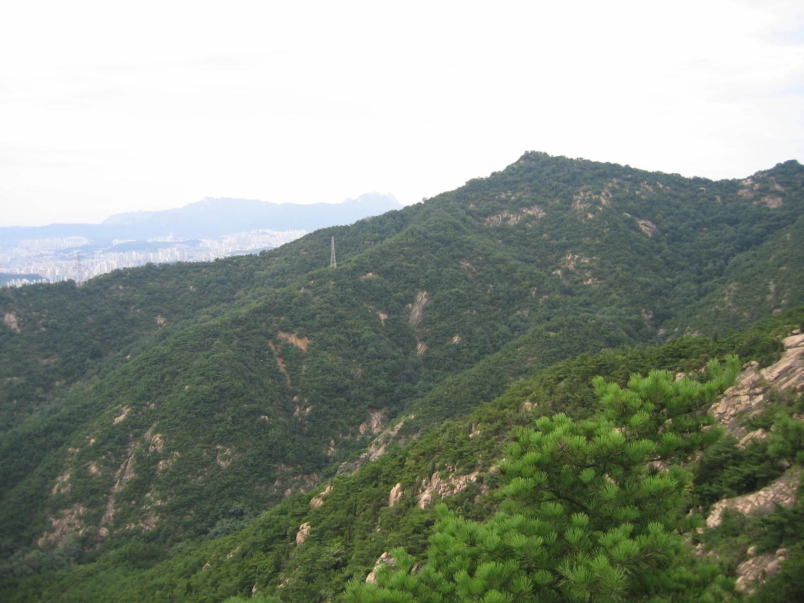
- Jirisan: Eggmoon, CC BY-SA 3.0. Resized. The image remains available under this license.
- Deogyusan: Yoo Chung, CC BY-SA 2.5. Resized and brightness adjusted. The image remains available under this license.
- Taebaeksan: Dcpeets, CC BY-SA 3.0. Resized and brightness adjusted. The image remains available under this license.
Frequently asked questions
›Are these five mountains suitable for complete beginners?
The mountains contain different routes. A lower valley walk and a summit ascent should not receive the same difficulty label. Choose a named course that fits your recent experience, weather, available daylight and transport.
›Do I need a reservation for every Korean mountain?
No. Reservation requirements apply to particular routes or facilities. Hallasan's controlled summit sections and Jirisan's Nogodan section are examples to check. Read current rules for the exact route instead of applying one park's system everywhere.
›Can Yeongsil or Eorimok take me to Hallasan's crater summit?
They are non-summit alternatives and should not be treated as routes to Baengnokdam. Research their own distance, access controls and turnaround requirements before choosing one.
›Can I visit all five on a short holiday?
This is a shortlist from which to choose, not a suggested five-stop itinerary. Travel between the mainland regions and Jeju, weather changes and recovery time all matter. Select one or two that fit the rest of your trip.
›Does a trail reservation guarantee that I can hike?
No. Weather, fire-prevention controls, maintenance, road access or a missed entry cutoff can still prevent the outing. Check current notices again on the day and keep another plan available.